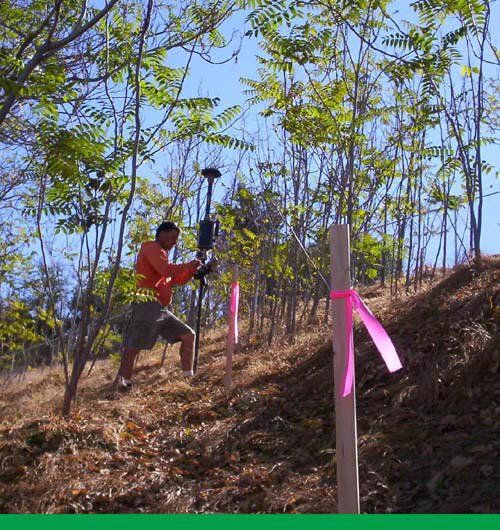
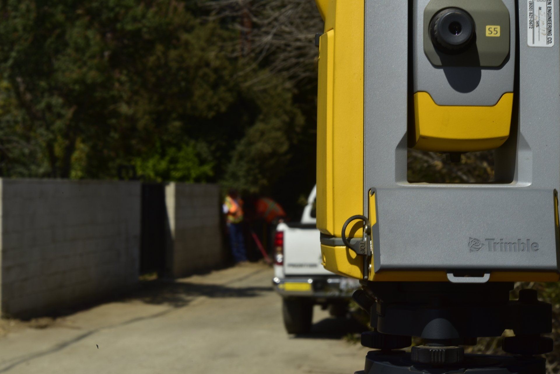
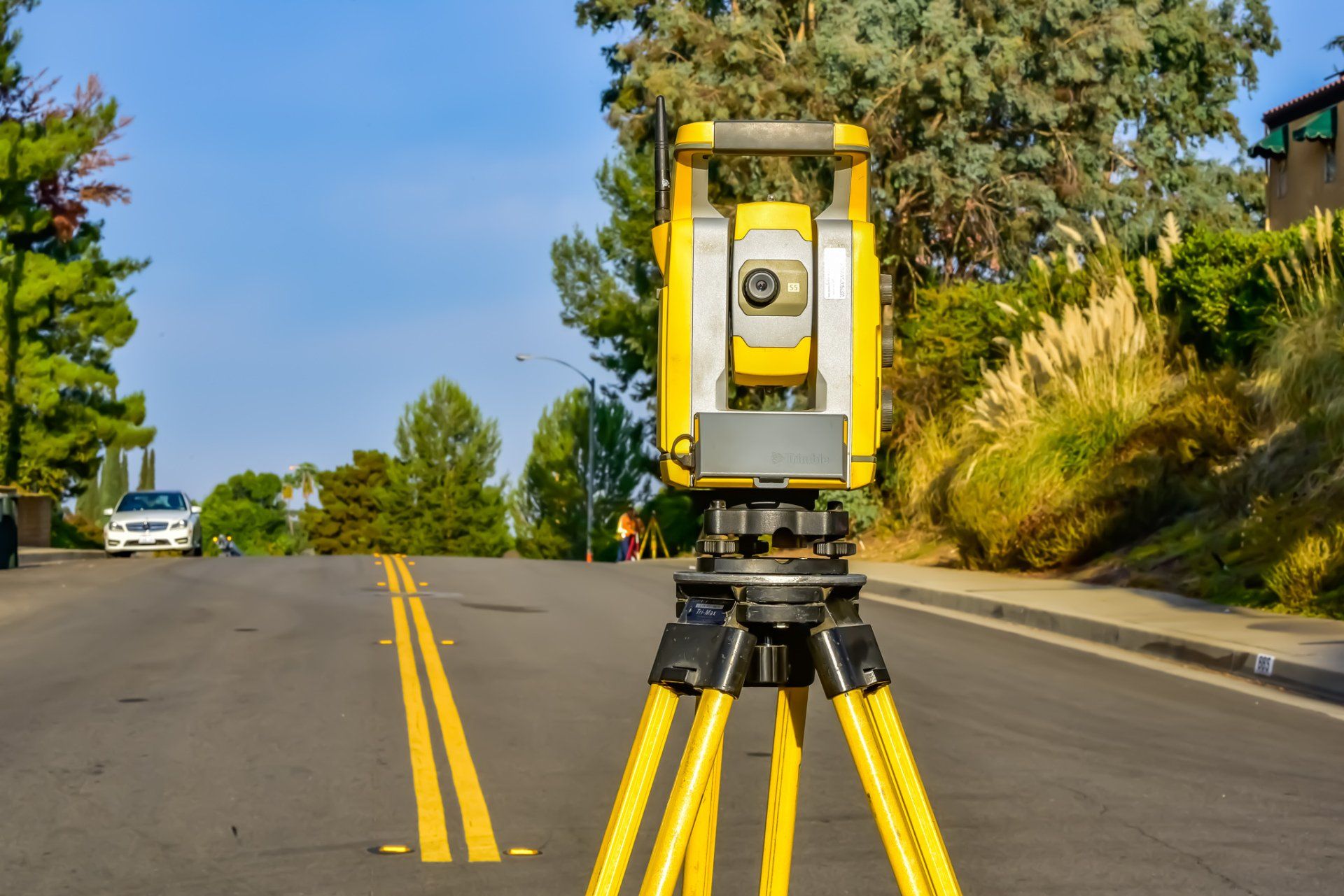
GPS Land Surveying
Land surveying to determine the features, boundaries, encroachments and easements using state of the art surveying equipment.
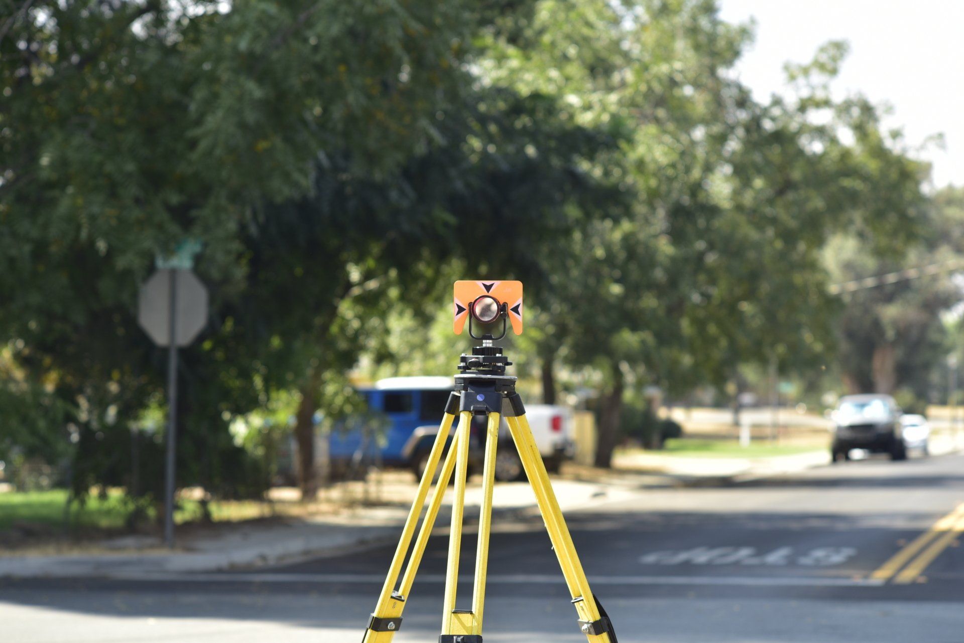
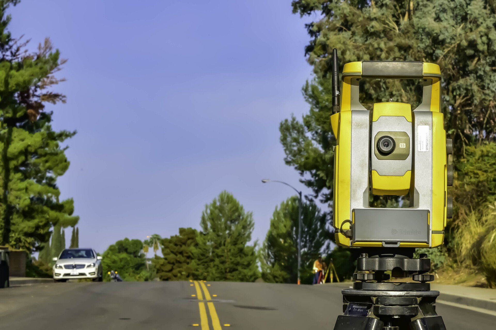
GPS Surveying Services
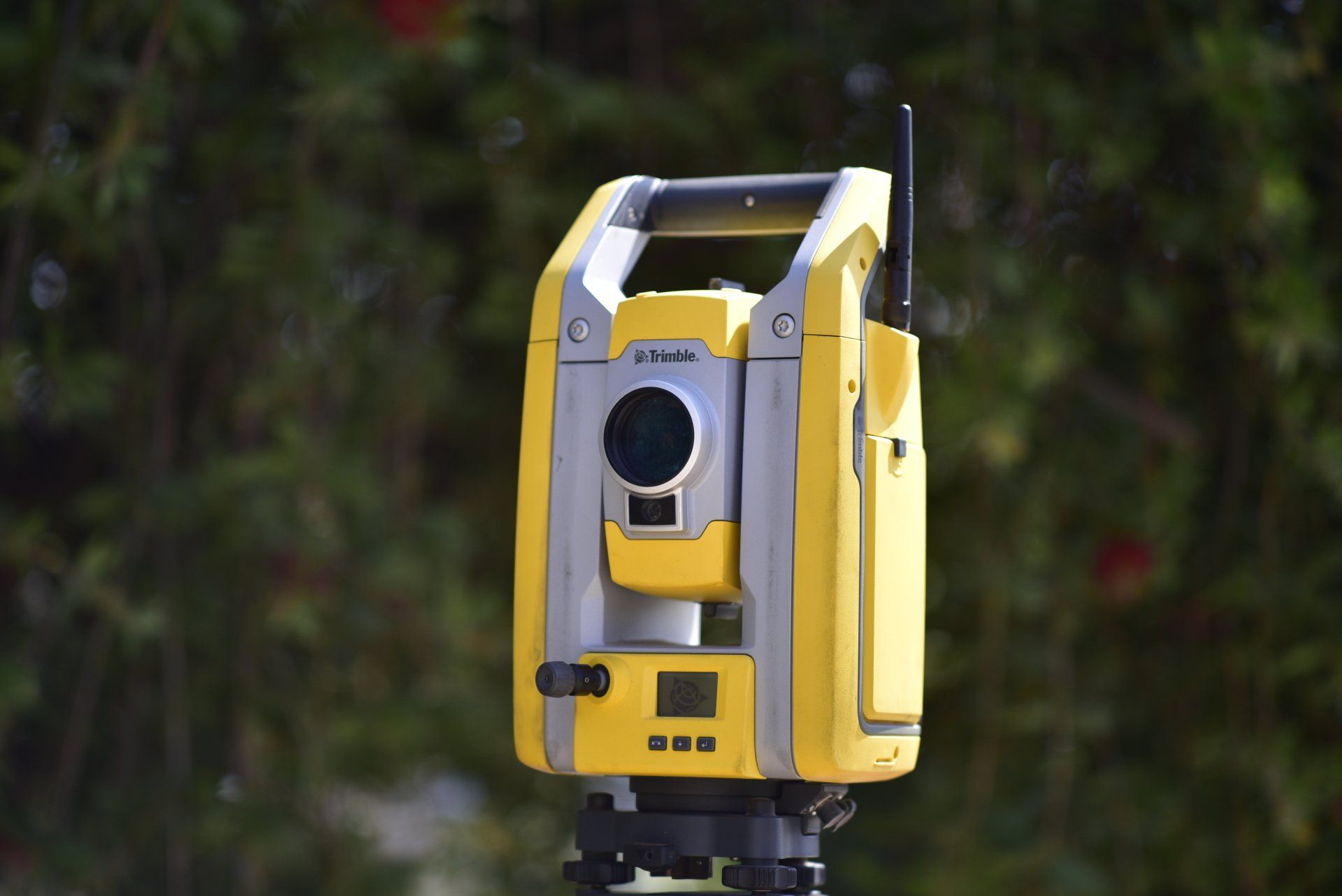
Our GPS surveying services utilize the most current and state of the art GPS surveying equipment available today.
SERVICES PROVIDED
- STATIC OCCUPATIONS
- KINEMATIC SURVEYS
- STOP-N-GO SURVEYS
- REAL TIME GPS
LAND SURVEYING & LAND MAPPING:
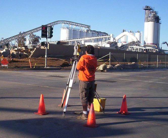
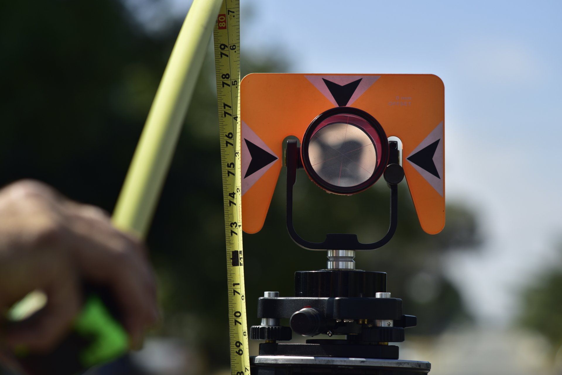
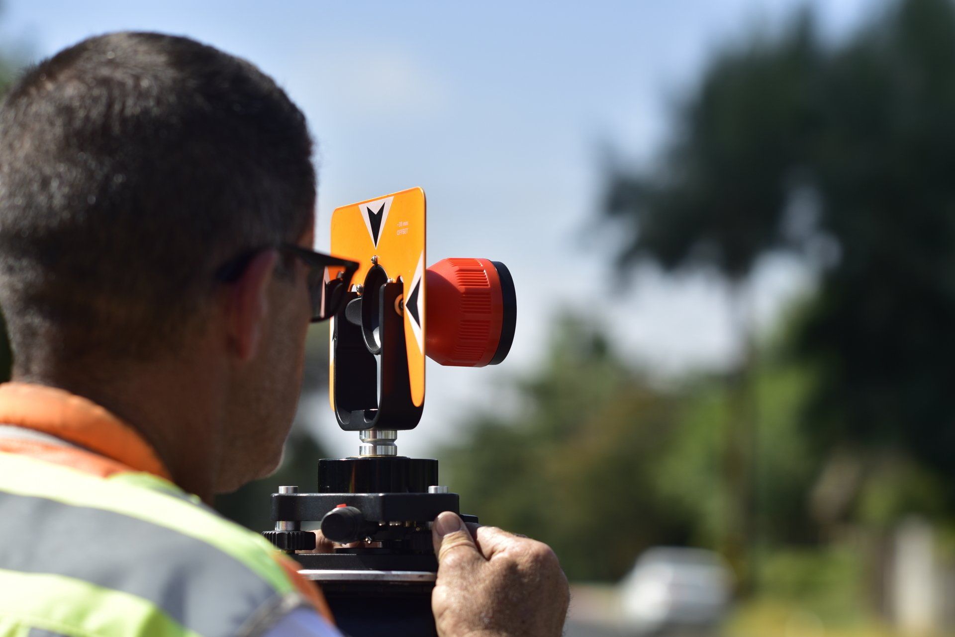
Professional Land surveying encompasses a number of techniques, incorporating many skills both artistic & scientific, gathering points on land surface, distances & angles to determine boundaries of ownership and for mapping purposes. Often land surveying is used to determine legal information for structural building & construction, to determine land ownership boundaries for property sales, or for purposes required by government or civil law. Therefore it is of utmost importance, you can count on experienced, skilled, professional land surveyors & civil engineers to complete work accurately.
At Hillwig-Goodrow Land Surveying & Mapping, you will find the most well-respected land surveying technicians using state-of-the art equipment and having equipped themselves with all the continued education in up-to-date techniques of land surveying & mapping including Boundary Surveys, Control Surveys for Aerial Mapping, Land Divisions, ALTA/ACSM Surveys & Mapping, Topographic Surveys, Construction Staking, Precise Leveling, Expert Testimony, Flood Insurance Surveys & Elevation Certificates.

WALL ART


